Spring has arrived in South Pennsyltucky; as I write this, there’s a moderate spring monsoon. The last two weekends I’ve gone to a local cemetery to explore — no, I haven’t found what I’m looking for — and yesterday, I drove down to Baltimore to look once more at Loudon Park. When I was there five weeks ago I found a location in a photograph from about 1920 that showed the trolley that used to run through the cemetery. But I didn’t line that shot up exactly, and I wanted to see if I could recreate it.
There are worse reasons to visit a cemetery. And this time, there wasn’t any risk of wrecking my car.
Yes, I’m not always particularly bright.
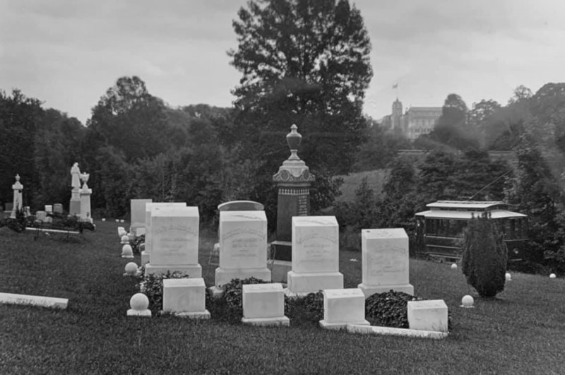
That photograph from 1920:
Even with a print out of this photograph in hand, recreating it proved impossible. There’s a stone right where I believe this was taken, and the stones in the old photograph have shifted in the last hundred years. Plus the photographer in 1920 was an expert and could do things with lenses that my mobile phone camera cannot. Maybe I needed to be another foot or two to my left. Still, this is pretty close.
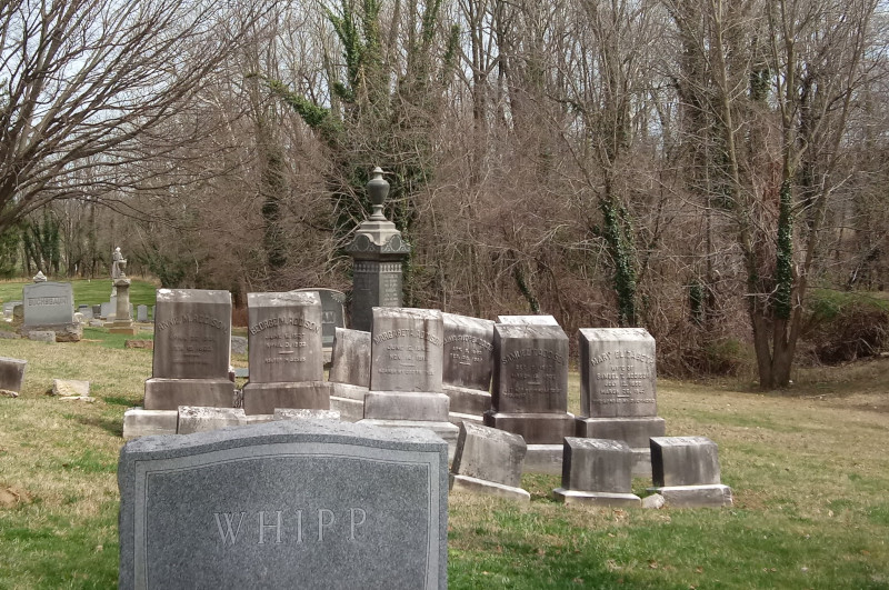
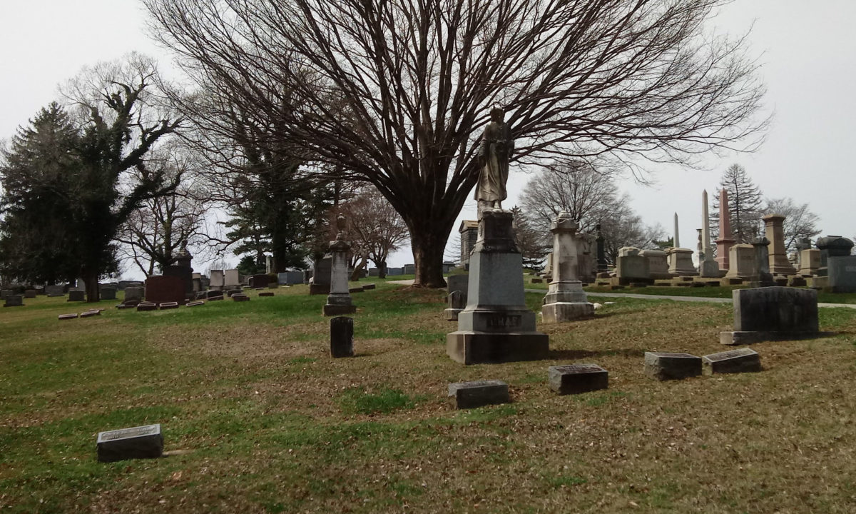
I’m interested in the things that are missing. I like the round markers; I assume they mark plots. The bush at right is gone. The trolley tracks appear to be set below what’s ground level today. And there are three stones that are flush with the ground — I call them “railroad ties,” and they have names carved in them — in the 1920 photograph that aren’t there now; were they removed? Did they sink into the earth?
Let’s compare them side-by-side.

Circa 1920 
March 2021
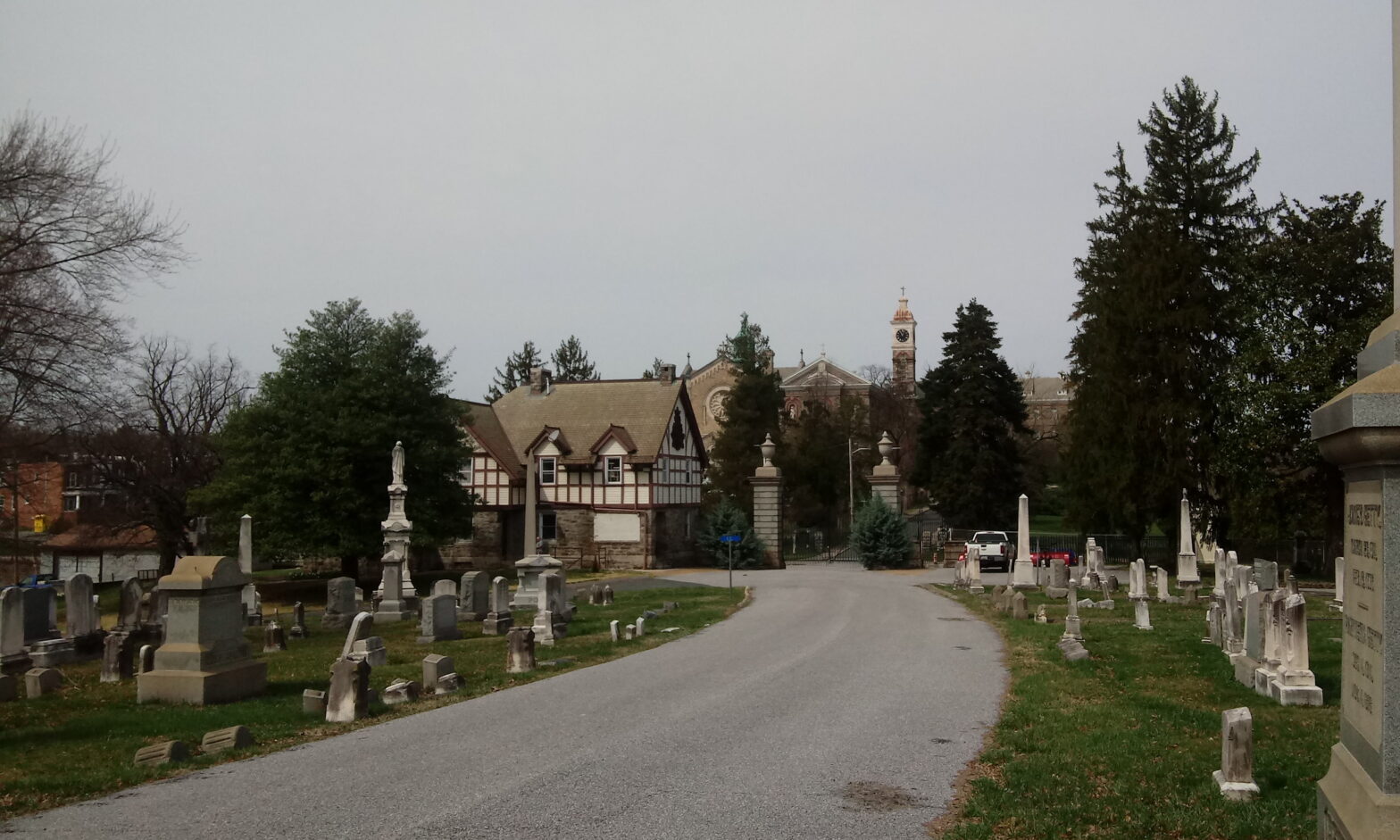
So, where is this exactly? It’s a little hard to explain, but it’s within easy walking distance of my great-grandparents’ site, on the way from the newer part of the cemetery to the older part of the cemetery, where my great-great-grandmother is buried. In fact, the bridge from the new part to the old, which has been closed since the flooding of 2018, is right near the left edge of these photographs.
These are the three tall monuments you can see at left in the photographs. The one in the center here is topped by a jar in the 1920 photograph but not here. It broke off at some point in the past and lays on the ground near the base.
Here’s a reverse angle. The group of stones in the foreground of the original photograph are in the background left-center.
Everything is so gleaming and white in the old photograph. Everything is so clean. Time and neglect take their toll.
I then embarked on an epic hike.
I had parked by my great-grandparents and walked to here, along the path that the trolley would have taken.
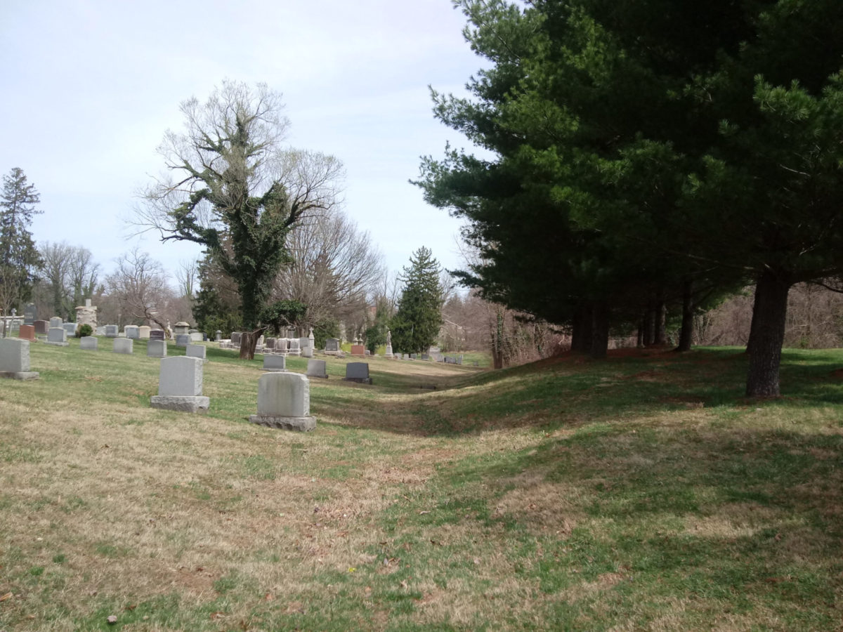
I normally would have driven into the old part of the cemetery, but I decided instead to carry on on foot, and I would go where the spirit took me. I crossed the closed-off bridge to enter the old part of the cemetery; it was easy enough to go around the barriers they had put up on both sides of the bridge.
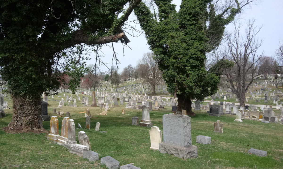
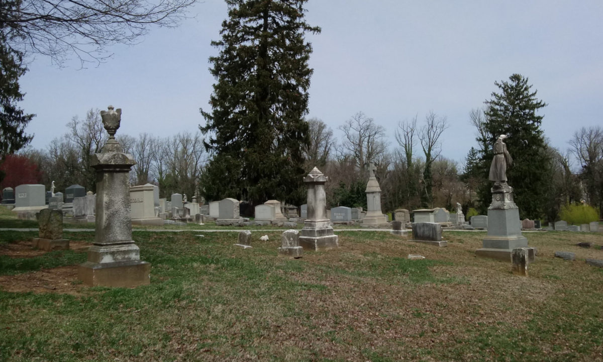
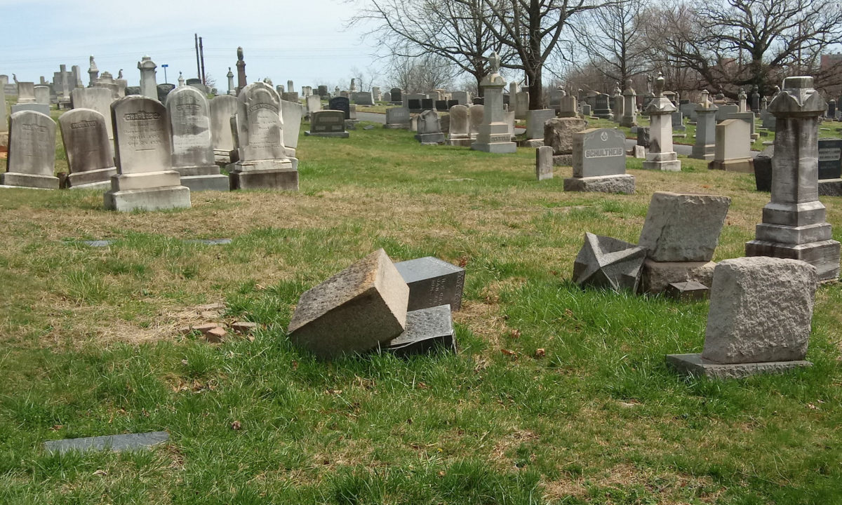
In old cemeteries, you’re going to see broken headstones. Prime example, this broken pillar.
There aren’t a lot of pillars that look like the one where my great-great-grandmother is buried, but there’s one at right. I didn’t even notice this one until I was culling my photographs. Had I noticed it yesterday, I would have examined it more closely. There are some things about her pillar and the way it’s carved that make me wonder if that’s just the way it was carved or if it’s a deliberate design that’s faded away in a century of weather, wear, and tear. Examining other, similar pillars can help me answer those questions. I’ll have to remember this for the next time I go.
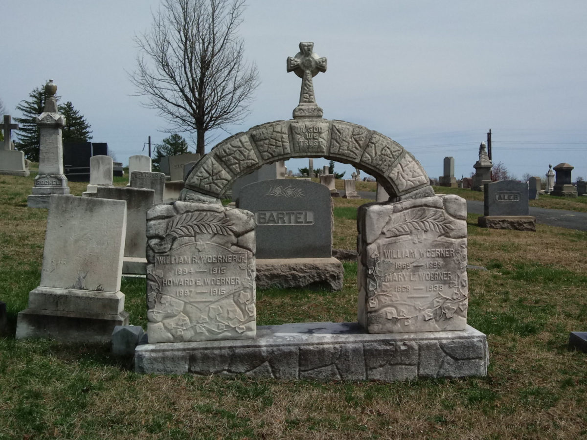
You’re also going to see some truly unique headstone designs, like this arch structure.
Adjacent to Loudon Park, though not a part of it, is a military cemetery. I stood on the base of the wall on the Loudon Park side and took some photographs.
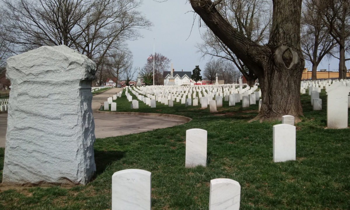
In my younger and less sensible days, I might actually have jumped the fence.
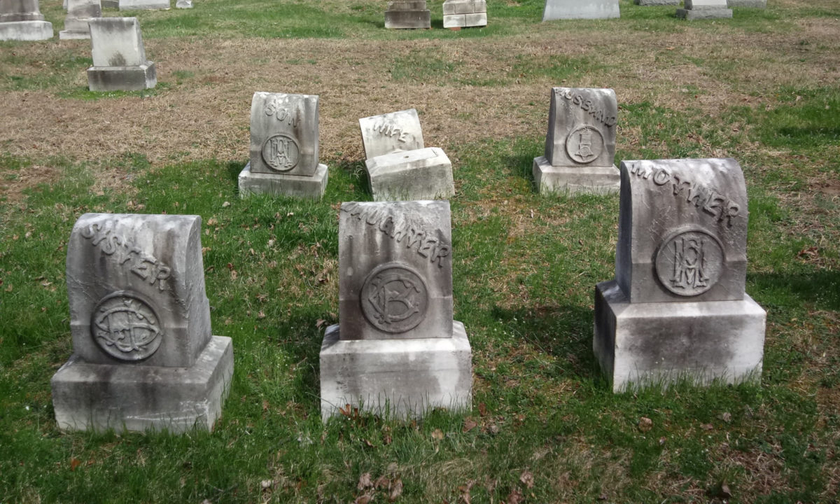
I liked the relief carvings on these. The typography reminds me of old-time baseball typefaces (think the Boston Red Sox), and even though they were no names or dates that I could find, based on the style I would hazard the educated guess that these probably date to 1900-1910.
Shortly thereafter, I had to pause and rest for a good ten minutes. I get tired. I think it’s due to the medications I’m on to control my blood pressure.
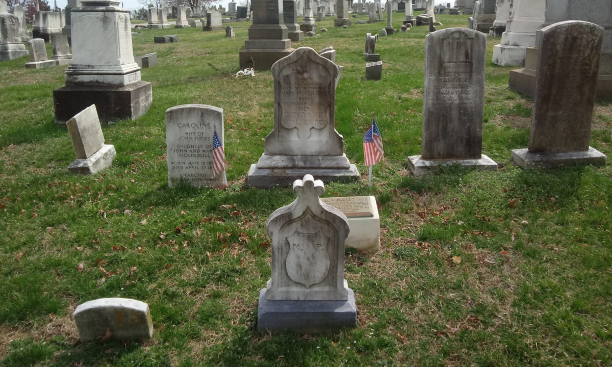
Once I felt good enough to go again, I went in search of the grave of Mary Pickersgill, the Baltimore seamstress who stitched the Star-Spangled Banner that flew over Fort McHenry. (For a fictional account of this, see Diane Carey’s novel Banners, reviewed here.) Were it not for the plastic flags, I probably would not have found it. This took me to the old gate on Frederick Avenue.
After a brief stop at the monument to Jerome Bonaparte, Napoleon’s nephew and another pause to rest at the bench of Ensign Markland Kelly, my journey took me through Confederate Hill, Loudon Park’s Confederate cemetery.
Around the Fourth of July last year, they took down the sign that identified this area as Confederate Hill and they had piled up a lot of plywood for reasons unknown (to me). The reason, it turns out, is that they encased several of the statues and monuments in plywood, such as the statue of (what I presumed was) Robert E. Lee, presumably to protect them from vandalism. But not everything was encased; the monument for the Maryland Confederate dead at Gettysburg is still visible, as is the monument to Brigadier General Bradley Tyler Johnson.
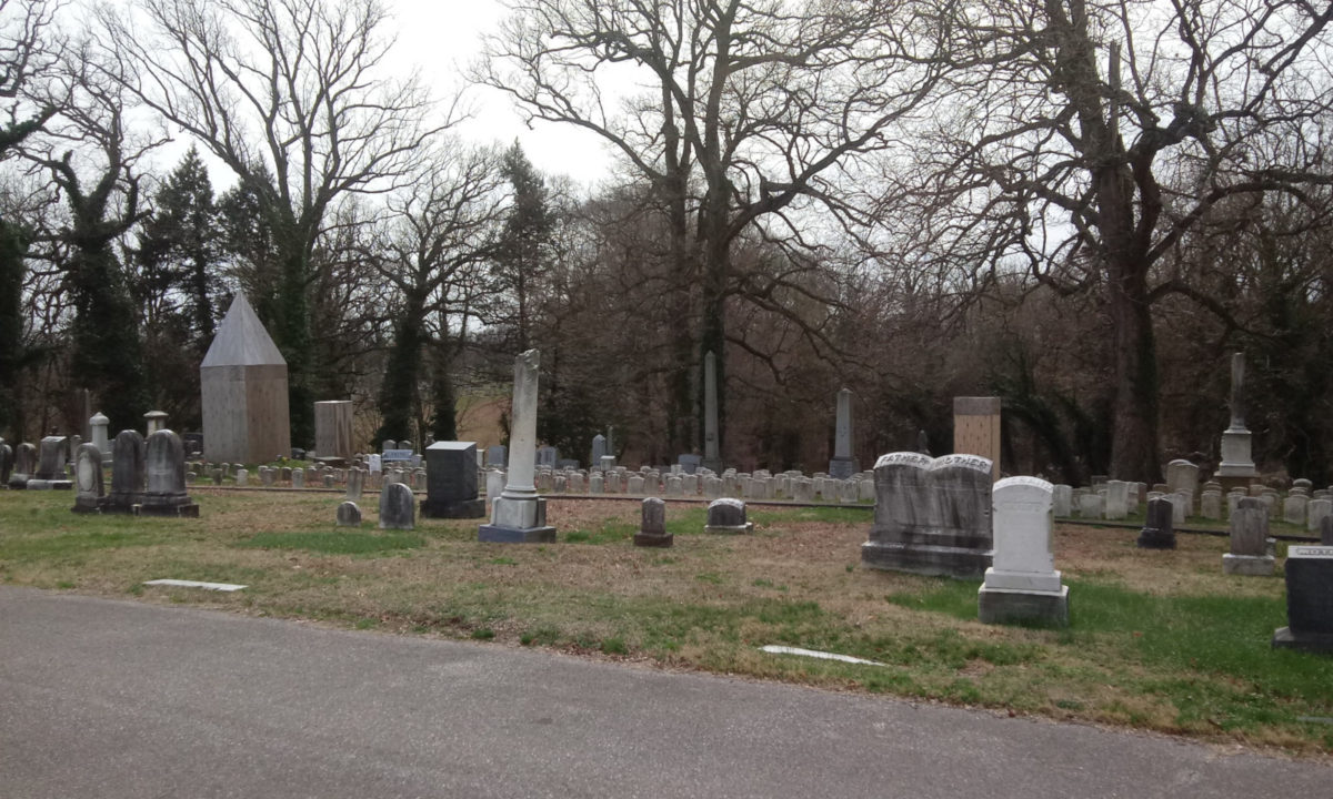
It’s all quite strange. One notable thing; the pole that the sign for Confederate Hill once stood upon is now gone as well.
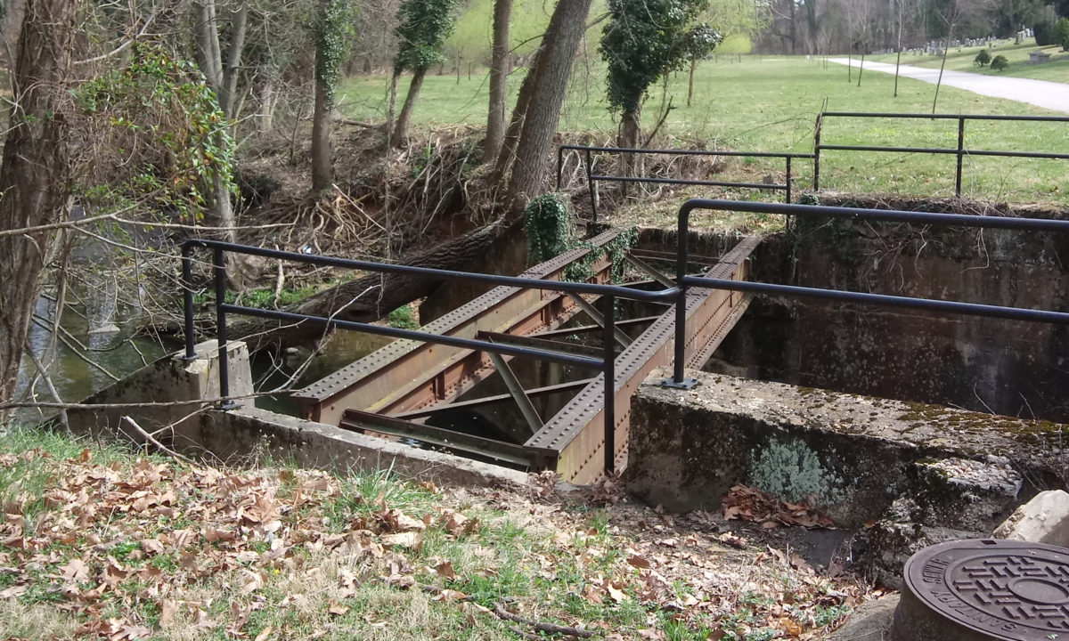
I went over the hill, down toward the road and the bridge across the creek that runs through the cemetery that one can cross by car. There I found that the trestle for the trolley still stands.
I had to stop to rest twice climbing the hills from there back to my Beetle; there are some steep hills in there. All told, this grand tour took almost two hours. I was tired, I felt dehydrated, I might have been a little sunburned, and I had hunger pangs. But I also saw stuff and had a good time, I indulged my curiosity, I got a solid walk in and those are the important things.
I am congested, with a tickly throat and occasional weak cough, though. Gotta love those springtime allergies!